Coordinate Systems
TatukGIS Free Coordinate Calculator v.1.2.3.34
This free Windows application interactively converts the coordinates of a point between coordinate systems. The version 2 reflects the same coordinate system support as the TatukGIS Developer Kernel (v.9) and TatukGIS desktop Editor (v.
LiegKat-Archiv v.0.9.4
Liegkat-Archiv delivers ALK converters for spatial data formats (EDBS, BGRUND, SQD, DFK, HK) and coordinate systems used in German cadastral agencies before ALKIS into KML and JML.
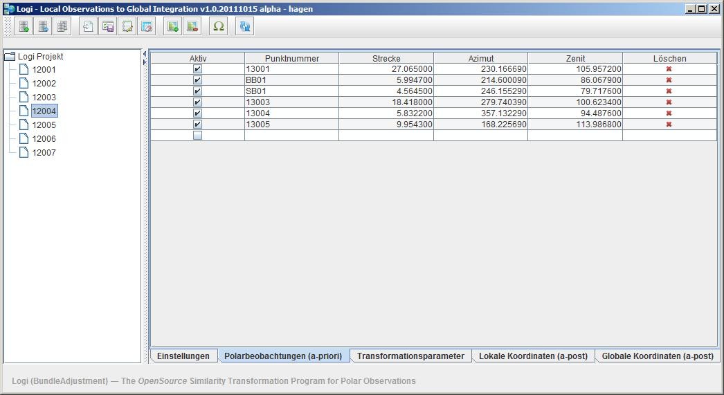
Local Observations to Global Integration v.20120329
Logi (Local Observations to Global Integration) transforms several local coordinate systems (composed of polar measurements) into a global spatial uniform network with respect to the Guide to the Expression of Uncertainty in Measurement (GUM).
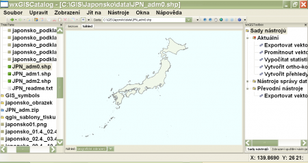
WxGIS Portable v.0.4.1
wxGIS is a useful application that allows you to manage and to organize multiple types of geographic information.
PHOTOMOD GeoMosaic v.4.4.677
PHOTOMOD GeoMosaic is intended for working with various types of digital images, including aerial and space imagery as well as digitized raster maps.
Autodesk MapGuide SDF Loader v.6 5
You can use your existing digital (vector) maps in Autodesk MapGuide® software by converting them to Spatial Data Files (SDF). SDF is a special data format for delivering large amounts of data quickly over an intranet or the Internet.
AutoFEM Tutorial v.1 3
To learn AutoFEM Tutorial, the presence of AutoCAD and AutoFEM Analysis is not necessary, although it is desirable.
Orbit Visualization Tool v.2 3
The Orbit Visualization Tool (OVT) is a software for visualization of satellite orbits in the Earth's magnetic field.
GeoPhyloBuilder v.1.0.1
Geophylobuilder is an extension for ArcGIS that builds a spatiotemporal phylogeographic GIS model from a tree and a set of geographical features. This version has a bug that results in branches crossing the -180/ 180 meridian (line of longitude).
ABB ArcWelding PowerPac v.5.13.1481.0225
ArcWelding PowerPac (AWPP) is an add-in to RobotStudio, which is a unique, geometry based off-line programming tool for generating arc welding programs.
GEONExT v.1 74
Clearly designed as an aiding tool for teaching Mathematics at any level - from elementary to high school -, GEONExT is a fine drawing application that will help teachers and students alike in generating high-quality mathematical visualizations that,
TatukGIS Viewer v.2.9.0.5307
TatukGIS Viewer opens most GIS/CAD vector, raster image, and grid file types, including the aerial imagery and vector street map data provided by the leading vendors, most ArcView, ArcExplorer, and MapInfo projects,